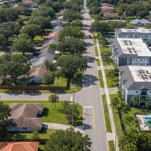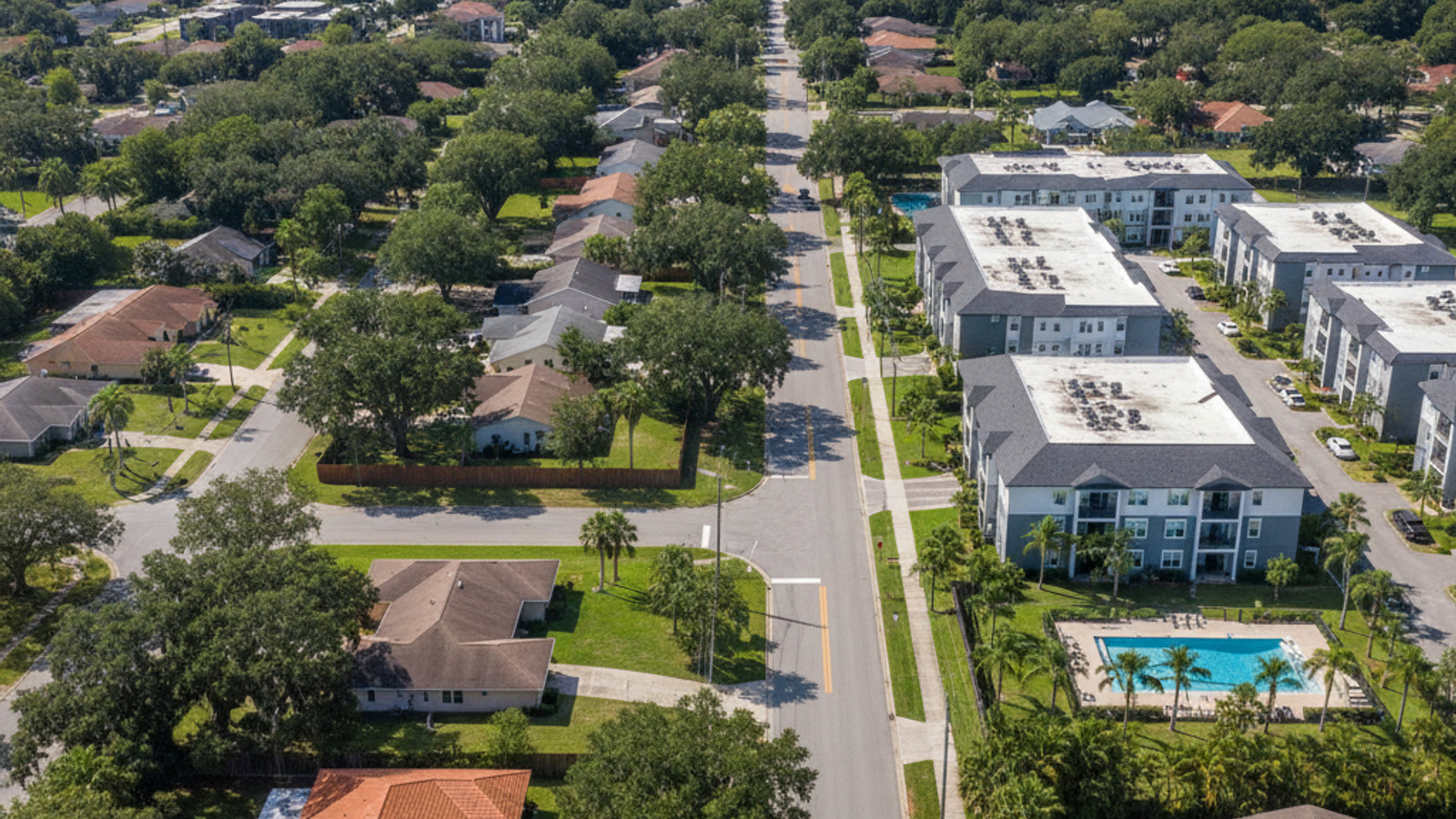
When evaluating homes for sale in Jacksonville, understanding the local transportation network is just as important as the property itself. The city covers a massive geographic footprint, meaning your daily commute will heavily influence your overall routine.
Buyers often underestimate how highway access and public transit routes shape the real estate landscape here. Mapping out your workplace, preferred grocery stores, and regional travel hubs ahead of time ensures you choose a neighborhood that fits your lifestyle.
Navigating the Sprawling Layout of Jacksonville
Jacksonville spans roughly 840 square miles, making it the largest city by land area in the contiguous United States. This expansive layout makes the region highly dependent on personal vehicles for daily transportation.
The local infrastructure relies on a network of four primary highways to move traffic across the county. Interstate 95 runs north to south, while Interstate 10 connects the western suburbs to the urban core.
The I-295 beltway forms a massive loop around the city, and J. Turner Butler Boulevard serves as the critical artery connecting the Southside to Jacksonville Beach. Buying a home near I-295 or J. Turner Butler Boulevard can easily cut 15 to 20 minutes off cross-town transit times.
The average daily commute time hovers between 26 and 28 minutes under normal conditions. Peak traffic windows typically occur from 7:15 AM to 8:30 AM and 4:30 PM to 6:15 PM. Trips from southern neighborhoods like Mandarin into Downtown Jacksonville can stretch to 40 minutes during these heavy congestion periods.
Public Transit Options and JTA Services
The Jacksonville Transportation Authority serves as the primary provider of public transit across the region. Their network covers the central districts and extends outward along major commercial corridors.
Fixed-route buses handle the bulk of daily ridership, with base fares recently modified to an approximate $1.00 rate for standard routes. The system includes specific regional connections, such as Line 1, which runs directly to the airport. While JTA buses cover a lot of ground, relying strictly on public transit limits your residential neighborhood choices strictly to the urban core or main corridors.
Downtown Jacksonville features the Skyway, an elevated automated transit system that is currently free to ride. As of 2026, this infrastructure is actively transitioning toward the NAVI autonomous vehicle network along the Bay Street Innovation Corridor.
Water transit also plays a functional role in specific coastal areas. The St. Johns River Ferry transports vehicles and pedestrians across the water between Mayport Village and Fort George Island. Crossing costs are roughly $1.00 for pedestrians and between $8.00 and $10.00 for standard vehicles.
Evaluating Walkability and Bike Infrastructure
While the broader metropolitan area requires a car, specific districts feature concentrated commercial zoning with excellent pedestrian access. These localized pockets allow residents to easily walk to grocery stores, cafes, and parks.
Historic districts like Riverside and Avondale, along with San Marco, offer the highest objective walkability scores in the city. These neighborhoods feature dense sidewalk grids and shaded streets that make walking a practical alternative to driving.
For recreation and waterfront commuting, the St. Johns Riverwalk provides over two miles of paved pedestrian paths. This continuous route connects the Northbank and Southbank areas, offering dedicated space away from vehicle traffic.
Cyclists and runners utilize the Jacksonville-Baldwin Rail Trail for longer, uninterrupted routes. This former railway corridor provides 14.5 miles of paved pathways stretching through the western portion of the city.
Regional Travel: Airport Connectivity and Rail
Reaching regional and national destinations requires navigating the northern sector of the city. Understanding the drive times to major transit hubs can help frequent travelers pinpoint the right property location.
Jacksonville International Airport is located about 15 miles north of Downtown Jacksonville. Reaching the terminals takes roughly 20 to 25 minutes by car, Uber, or Lyft under normal traffic conditions. Alternatively, taking JTA Bus Line 1 from the city center requires about 60 minutes of travel time.
For buyers who travel frequently for business, settling in the Northside or near the I-95 corridor reduces the airport run to under 20 minutes. This placement completely bypasses the heavily congested J. Turner Butler Boulevard corridor.
Passenger rail transport is also available for East Coast travel. The local Amtrak station sits on Clifford Lane, providing an alternative to flying or long-distance driving. Local car rental services operate directly out of the airport and train station for supplementary transit.
Frequently Asked Questions About Getting Around
Can you get around Jacksonville without a car?
Living without a car is only practical if you purchase a home in dense, centralized neighborhoods like Riverside, San Marco, or the downtown core. The vast 840-square-mile footprint of the broader city makes a personal vehicle necessary for most residents.
Is the Skyway in Jacksonville free?
Yes, the elevated Skyway system is currently free to ride for all passengers. It operates within the downtown district and connects key business and entertainment hubs across the river.
Does Jacksonville have a subway system?
No, the city does not have an underground subway system due to the high water table and coastal geography. Mass transit relies entirely on above-ground solutions like the elevated Skyway, bus routes, and the emerging autonomous vehicle network.
Check out this article next